28.9
ASCENT DOCUMENTATION
- Ascent category: COMBINED (rocky in summer)
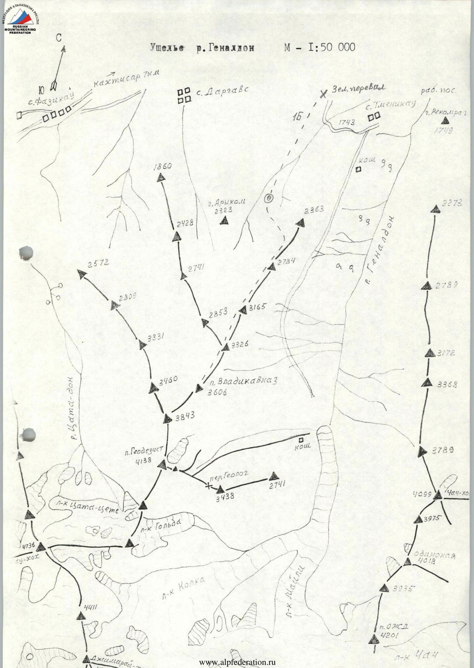
- Ascent area: CAUCASUS: 2.8: Tsaziut-don river gorge
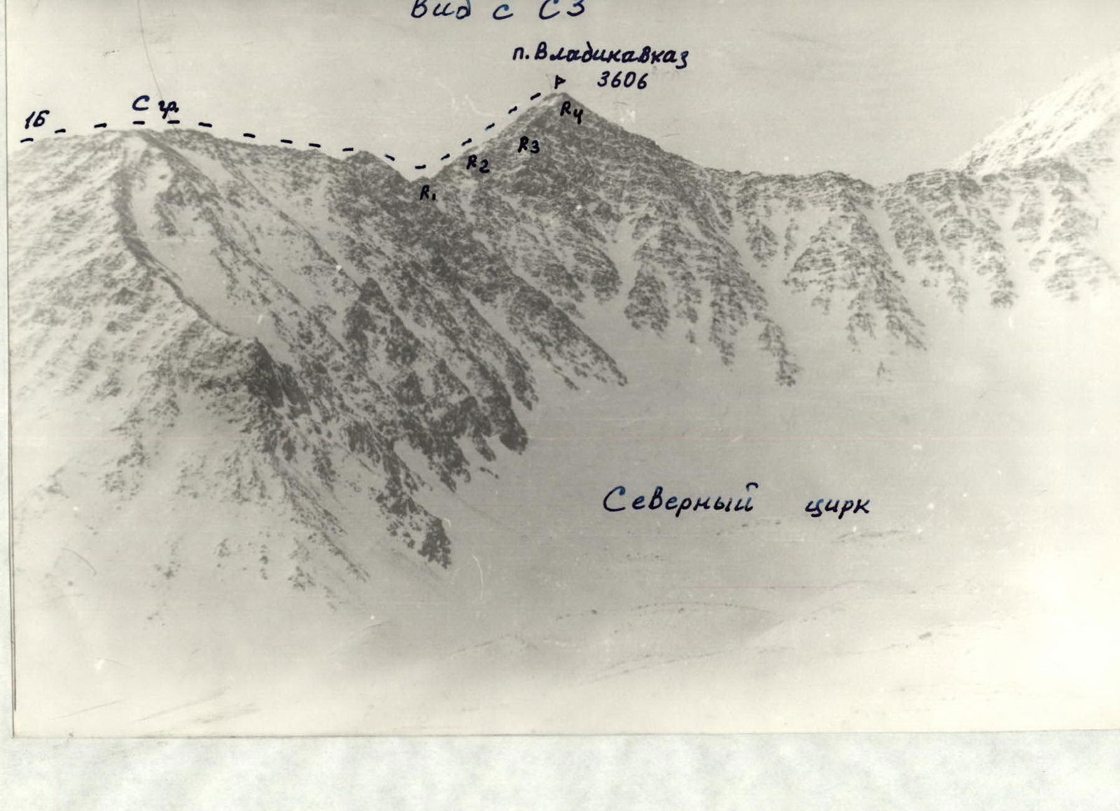
- Peak and route: peak Vladikavkaz (3,600 m): via the North Ridge
- Expected category of difficulty — 1B, first ascent
- Route characteristics: elevation gain — 1,000 m route length — 3,100 m length of sections with 25° slope — 130–150 m average steepness of the key part of the route — 50–55°
- Pitons used: rock pitons — none ice screws — none chockstones — none
- Duration (days): 14 (I)
- Number of bivouacs: first — at the water intake (koša) second — at the same place bivouac at one location
- Leader: Khamitsaev Kazbek Borisovich — Candidate Master of Sports participants: mass ascent with 40 participants.
- Coach: Proskuryakov Ruslan Pavlovich — Master of Sports
- Departure to the route — May 19, 1994 Return to bivouac — May 19, 1994
- Organizing body: KM FA RSO-A.
Route description
From the bivouac at the water intake (further on, in summer — no water!), proceed straight along the gorge for 350–400 m, turn left and gradually gain height traversing a 35–40° rocky-scree-grassy slope to reach the ridge. From here, proceed straight along the ridge over simple scree and rocks to approach the steep rocky ascent to the peak. Climb 130–140 m up steep, crumbling rocks (loose stones!) and reach the peak. There's a cairn on the summit.
The ascent time is 10–12 hours. Descent along the same route takes 2–3 hours. The route with approaches and return takes 2–3 days.
View from C3