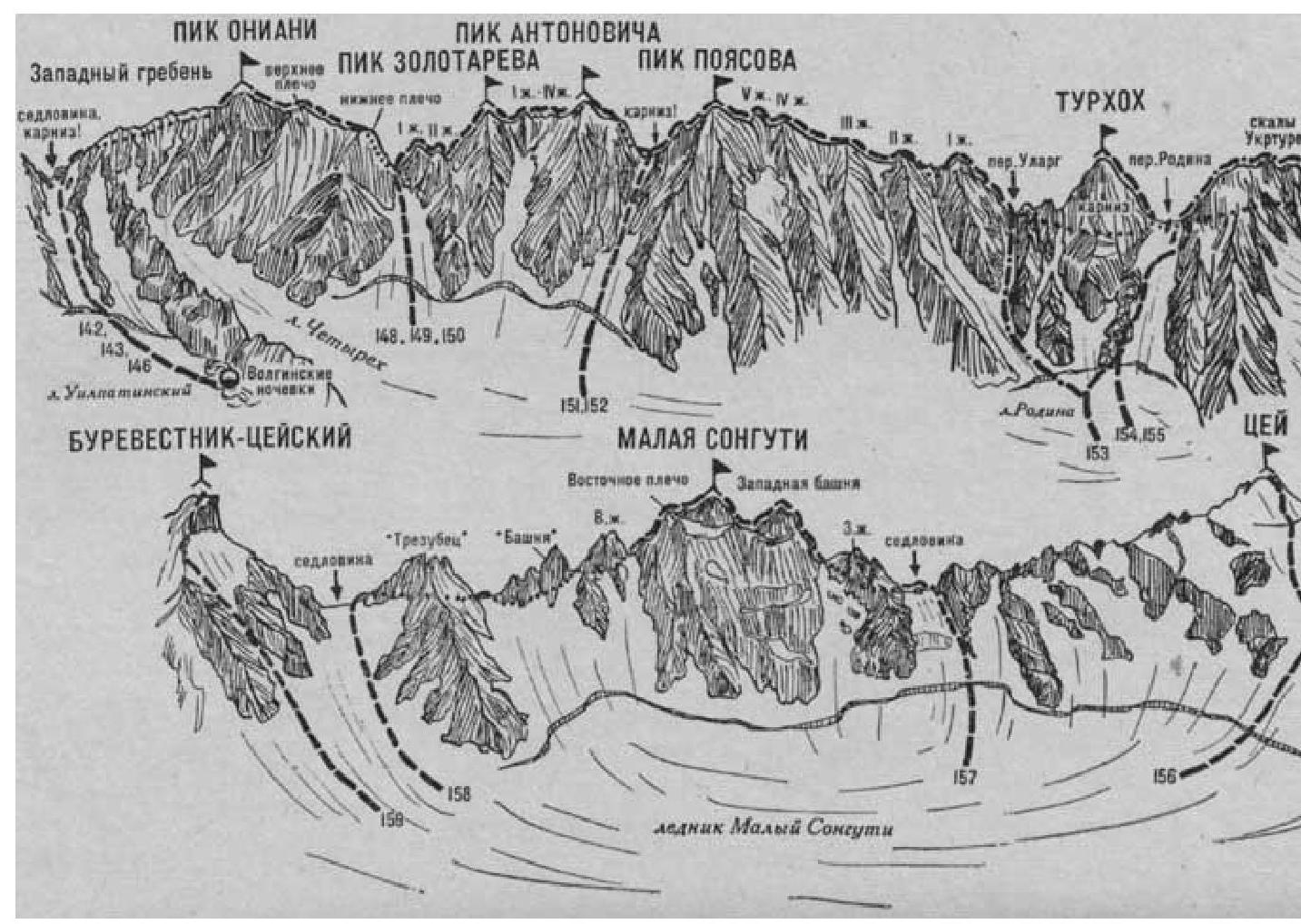
- Tsey (4140 m) via the Northeast slope (snow-ice route, category 1B difficulty level, fig. 33).
From the Tsey district's KSP (group of 4–20 people), head down to the highway and follow it down the Tsey gorge. Before the last turn towards the village of Verkhny Tsey, turn left off the highway. Then:
- Follow the path along the stream in the hollow
- Then along the ridge of the grassy moraine past the cemetery
- Ascend to the grassy areas — the initial bivouac site for ascending Sadon and Spartak-Tsey peaks.
From the areas, ascend along the path on the grassy, then scree ridge of the counterfort. Continue moving up along the scree, then along simple, broken (with protection) rocks of the counterfort to the Eastern ridge of Sadon peak. Here, turn left and follow the simple, gentle, heavily broken rocks of the Eastern ridge to reach the summit of Sadon. From Tsey district's KSP, 4–6 hours.
Descend from Sadon peak along the snowy slope on the right side of the Tsey ridge to the saddle connecting Sadon with Spartak-Tsey peak, then left to a small snowy plateau. Cross the plateau down to the right and along the right side of the snowy slope, exit to a wide rock shelf on the left side of the ridge connecting Sadon and Nameless peaks, located on the North ridge — a spur of Sadon. Follow the shelf under Nameless peak to reach a large scree. Here, turn left and descend along the scree to a small, unnamed cirque glacier. From here, move left and down. Bypassing the base of the Western ridge of Burevestnik-Tsey peak under the rock walls, ascend behind it along the scree left and up to the areas near Turye Lake.
Route:
- Descend along the snowy slope on the right side of the Tsey ridge to the saddle between Sadon and Spartak-Tsey
- Move left to a small snowy plateau
- Cross the plateau down to the right
- Exit along the right side of the snowy slope to a rock shelf on the left side of the ridge between Sadon and Nameless
- Move along the shelf under Nameless peak to a large scree
- Descend along the scree to the unnamed glacier
- Move left and down
- Bypass the base of the Western ridge of Burevestnik-Tsey peak under the rock walls
- Ascend along the scree left and up to the areas near Turye Lake
From Tsey district's KSP — 8–10 hours. The areas serve as the initial bivouac.
From the areas, exit to Maly Songuti glacier, cross it up to the right, approaching the Northeast slopes of Tsey peak. From the glacier, having crossed the snow bridge over the bergschrund, ascend along the wide, 200–300-meter snowy slope to a small snowy saddle on the North ridge of Tsey peak, between two rocky outcrops, under the summit ascent. On the saddle, turn left and:
- follow the gentle, 500-meter snowy North slope,
- then, having overcome a crevasse,
- along the steep, 40–50-meter ice-snow ascent (with protection)
reach the summit of Tsey. From Turye Lake, 3–5 hours.
Descend via the ascent route. Duration of the route is 2 days.
Literature:
- Naumov A. F. Karaugom, Digoria, Tsey (Central Caucasus), M., "Fizkultura i sport", 1976.
| :--: | :--: |