Climbing Passport
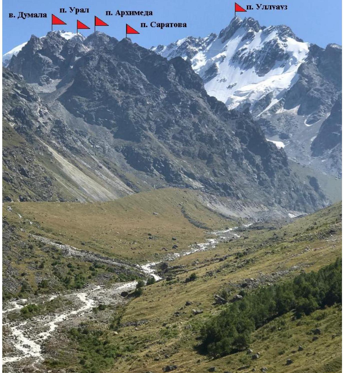
- Caucasus, Bezengi region, Ukyu gorge. Section 2.5 according to the 2013 classification table.
- To the peak named after Yu.S. Saratov, 3711 m high, via the N ridge 43.05.337 N 43.10.797 E.
- Proposed category 1B difficulty, first ascent.
- The route is rock.
- Height difference is 500 m.
- There is 1 rappel anchor on the route.
- Climbing time — 5 hours.
- Leader — S.A. Slotyuk, Candidate Master of Sports, in a team of two with S.V. Kotachkov, Candidate Master of Sports.
- Coach — S.A. Slotyuk.
- Departure to the route from Ukyu Kosh bivouac at 6:00 on August 27, 2019. Summit reached at 9:00 on August 27, 2019. Return to bivouac at 10:30 on August 27, 2019. Descent via the ascent route.
- Climb as part of the ongoing alpinism event "Bezengi" by AUSB.
- Responsible for the report — S.A. Slotyuk.
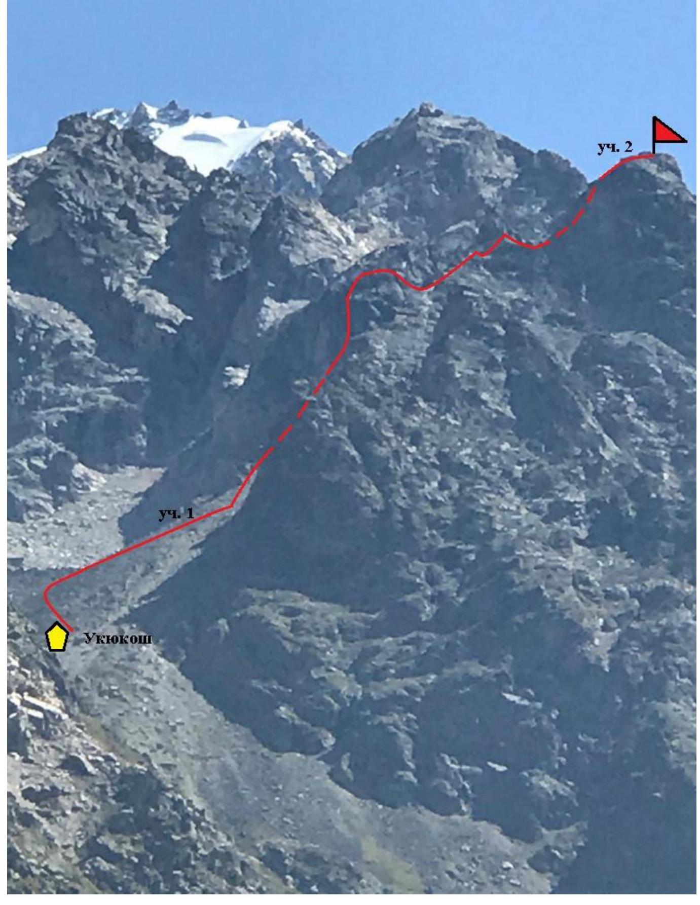
Email: mosfais@yandex.ru. The route starts from the Ukyu hut bivouac in the "Warm corner" of the Bezengi region.
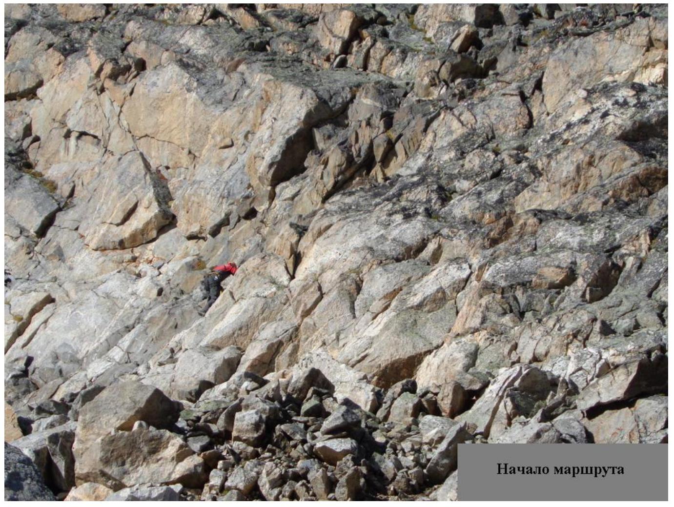
Section 1. Follow the ledge-couloir from the hut to the bend. Then, via simple rocks and ledges, staying on the left side, enter the cirque with the "trough" glacier below Mt. Archimedes. Short belays on rock ledges are recommended for beginners before ascending to the saddle.
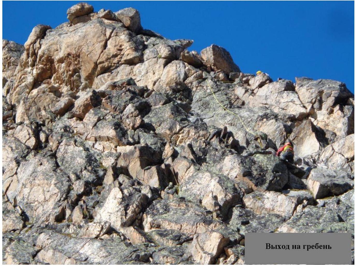
Section 2. From the saddle, move right to the steep ridge towards the summit. The "tower" gendarme is bypassed via a ledge on the left. Simultaneous movement with piton belays and protection via outcrops. Then, follow the obvious ledge left of the ridge, entering the ridge in the upper part. At the ridge, use a piton or a loop around an outcrop. Continue along the ridge with alternating belays to the summit. Be cautious near the summit cairn; there is a 30 cm wide ridge with steep drops on both sides for 3 m.
Descent is via the ascent route with alternating belays. Ice on rocks is possible in the morning. Piton belays are mandatory.
| Section # | Length | Steepness | Terrain Characteristics | Difficulty Category |
|---|---|---|---|---|
| 1 | 800 m | 30° ledge-couloir; 60° ledges | Ledge-couloir; rock ledges when exiting to the saddle | 1 |
| 2 | 200 m | 60° | Steep ridge, ledge below the ridge | 2 |

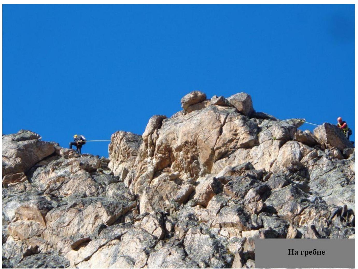
On the ridge