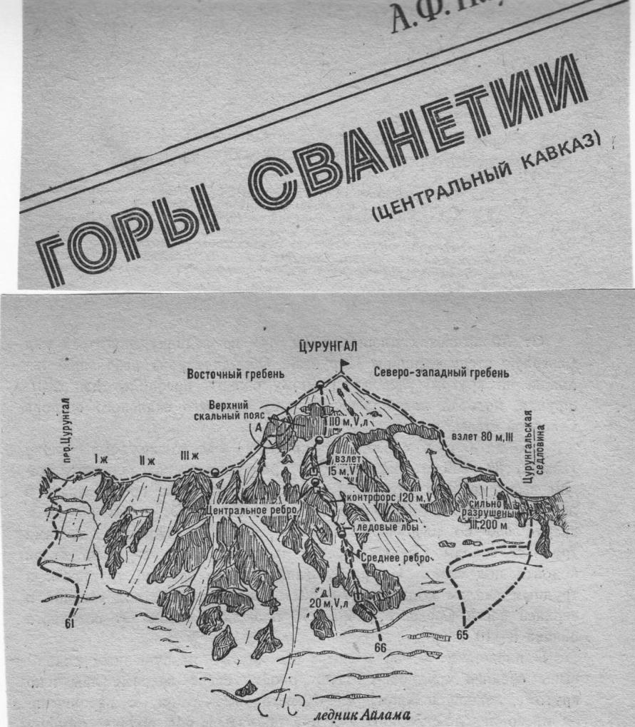
Fig. 13.
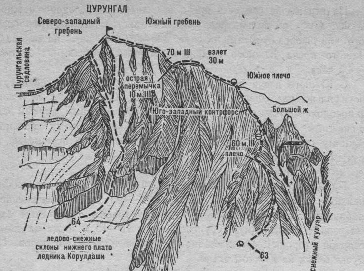
From Koruldashi glacier 8–10 hrs. The route is prone to rockfall. 65. Tsurungal via the North-West ridge (combined route. A. Freisля, 3B cat. dif., fig. 5, 12, 13). From Ailama meadows (point 44) follow the center of the Western branch of Ailama glacier (closed crevasses) to approach Tsurungal saddle on the Main Caucasian Range between Ailama and Tsurungal.
From the glacier, having crossed a snow bridge or bypassed a large bergschrund on the left under Tsurungal slopes, ascend 200–250 m up an icy-snowy slope (loose rocks, belay). Then, bypassing two ice crevasses on the right, approach the rocky slope of the saddle (steep slope). Ascend 150–200 m up severely damaged steep rocks of medium difficulty (loose rocks, streams) to the left side of the saddle (cornice).
On the saddle, turn left and ascend wide talus rocks to reach the north-west ridge of Tsurungal.
On the route:
- Ascend 200–250 m up steep easy severely damaged rocks of the North-West ridge (belay)
- Then ascend 60–80 m up steep rocks of medium difficulty (piton) to the rise
- From the rise ascend 300–350 m up easy severely damaged rocks of the North-West ridge
- Difficult sections are bypassed on the left
- Then ascend along the wide talus snow-covered North-West ridge to the summit of Tsurungal
From the initial bivouac — 6–8 hrs.