Ascent Log
(second passage of the route)
- Ascent class — combined.
- Ascent area — Polar Urals, Khordyus massif.
- Peak, its height and route — via the 3rd ridge of Mt. Skalnaya — 1178 m.
- Expected difficulty category — 1B cat. diff.
- Route characteristics:
- Elevation gain from the base camp — 660 m.
- Length of sections by cat. diff.: 1 — 2000 m 2 — 100 m
- Belay — through rock outcrops.
- Number of travel hours — from base camp to summit — 3 hours
- Full names of participants and their qualifications:
- Maltsev S. L. — leader, 1st sports category, instructor 3rd category
- Khramtsov V. A. — 3rd sports category
- Kamashev V. V. — 3rd sports category
- Lebedev A. A. — 3rd sports category
- Belozyorova V. S. — badge holder
- Zadnepryanaya I. V. — badge holder
- Team coaches:
- Fomenko F. N., CMS, instructor 1st category.
- Date — April 14, 1996.
First ascent — no information available. Popular route for enthusiasts.
Ascent Diagram for Mt. Skalnaya (1178 m) via the Western Ridge.
Route:
from the base camp at the confluence of two streams into the Bolshaya Niedz-yu river, at the foot of the mountain, along the northwest ridge and then via the rocks to the summit.
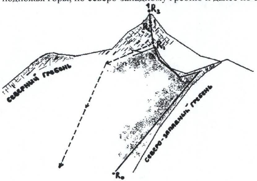
ASCENT: R0–R1 Western ridge; cat. diff. 1; 2000 m, 30 ° R1–R2 ascent from the saddle via rocks; cat. diff. 2; 80 m (2 ropes); 45–50 ° R2–R3 exit to the summit via steep rocks; cat. diff. 2–3; 20 m; 60 ° DESCENT: Descent via the ascent route R3–R1 and then to the saddle of the Northern ridge. From there — down the snowy slope (45 °) to the base camp.
Note:
Almost the entire ridge and rocks near the summit are covered with dense hoarfrost and crampons are necessary throughout the entire route.
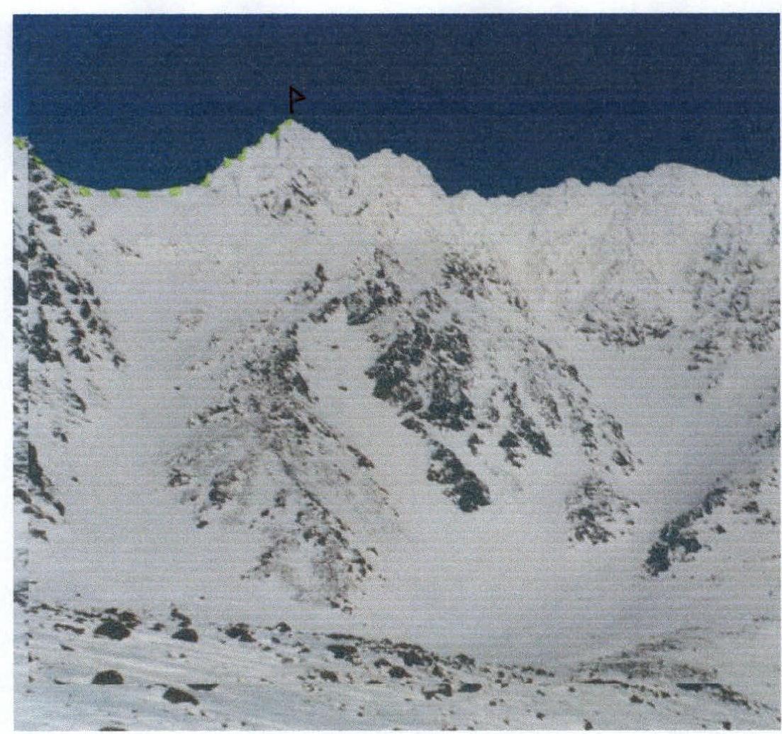
View of the Western Skalnaya summit (1178 m) from the south (S. L. Maltsev, April 1996)
1B route via the Western Ridge
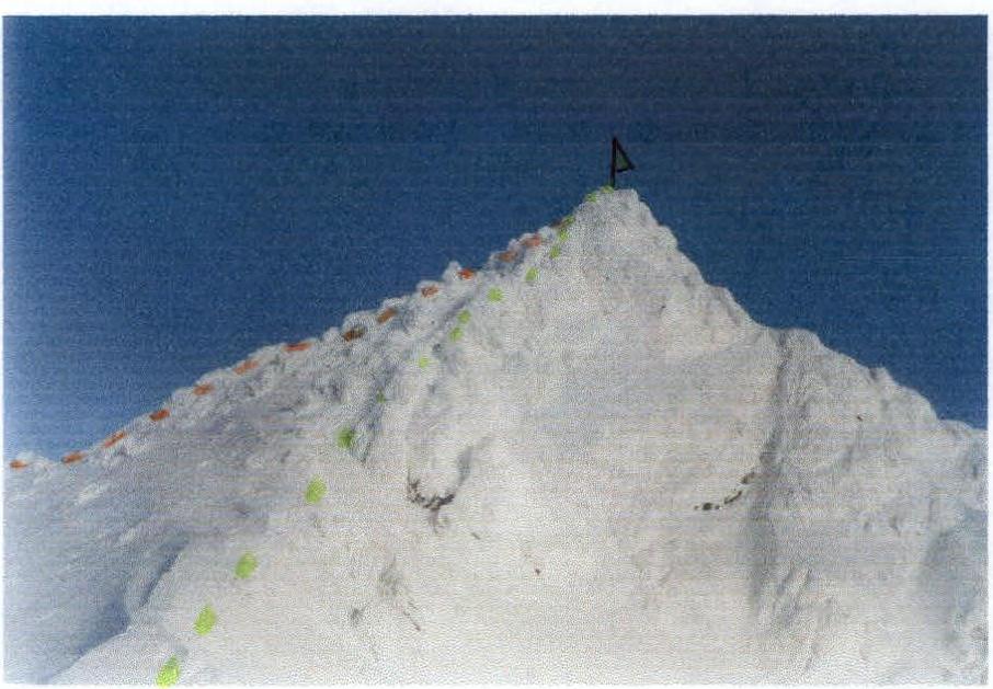
The same summit, view from the Western Ridge, 1B route (April 13, 2001). Left — 2A route (photo by S. L. Maltsev)
 www.alpfederation.ru↗