Ascent Passport
- Altai, South Chuya Ridge, classifier section 1.3
- Nekrasova, 3573 m, via the southeast ridge.
- Proposed category: 1B.
- Route type: combined.
- Elevation gain: 350 m.
Route length: 1000 m. Length of sections with category V difficulty: 0, category VI: 0. Average slope: 22°.
- Pitons left on the route
Total: 0, bolted pitons: 0.
- Team's travel time: 9.5 hours, 1 day.
- Leader: Ivan Yarovoy, Candidate for Master of Sports.
Team members: Viktoriya Bobova, Mikhail Bobykin, Dmitry Nemuschenko
- Coach: Ivan Yarovoy.
- Departure from base camp to the route
Route started: 8:00 AM, May 3, 2013. Summit reached: 5:30 PM, May 3, 2013. Return to base camp: 12:00 AM, May 3, 2013. Descent via the ascent route.
- Organizing body: Novosibirsk, Federation of Alpinism of Novosibirsk Oblast (FANSO).
- Person responsible for the report: Ivan Yarovoy (email: fanso@mail.ru, phone: 8-913-724-6765)
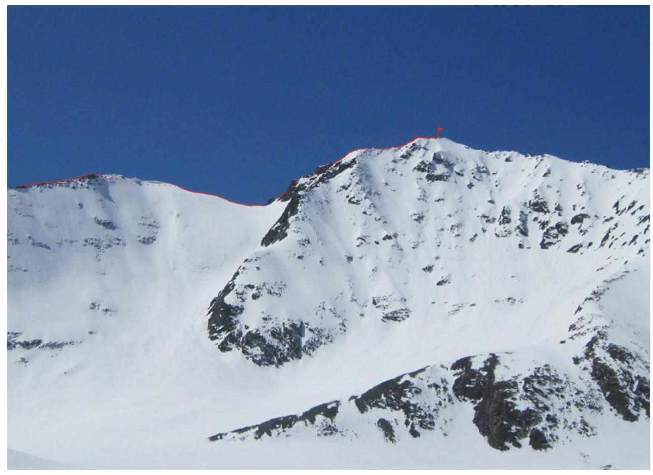
General photo of the summit. Taken on May 3, 2013, from the main moraine of Nekrasov Glacier (shooting point TP-01 on the map).
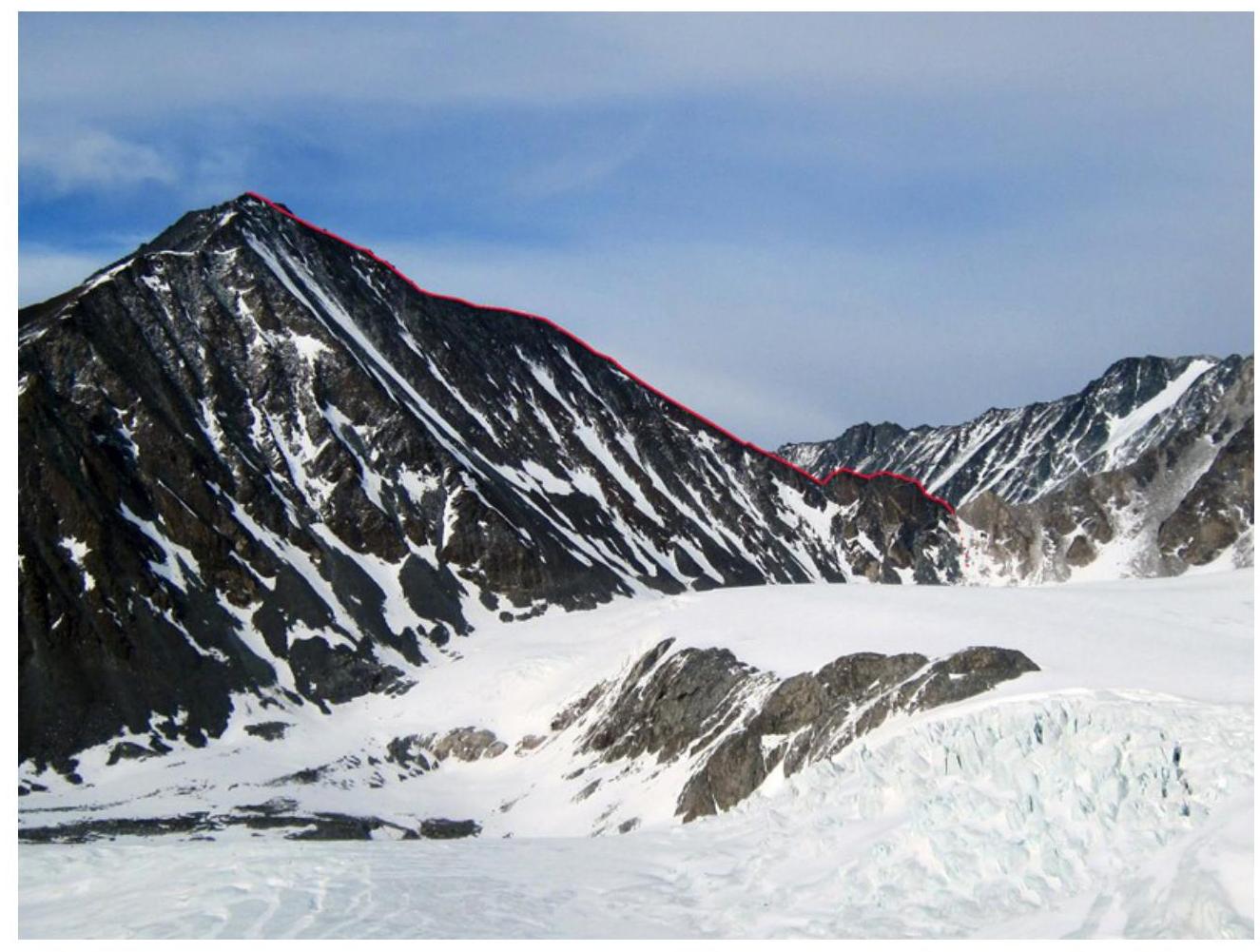
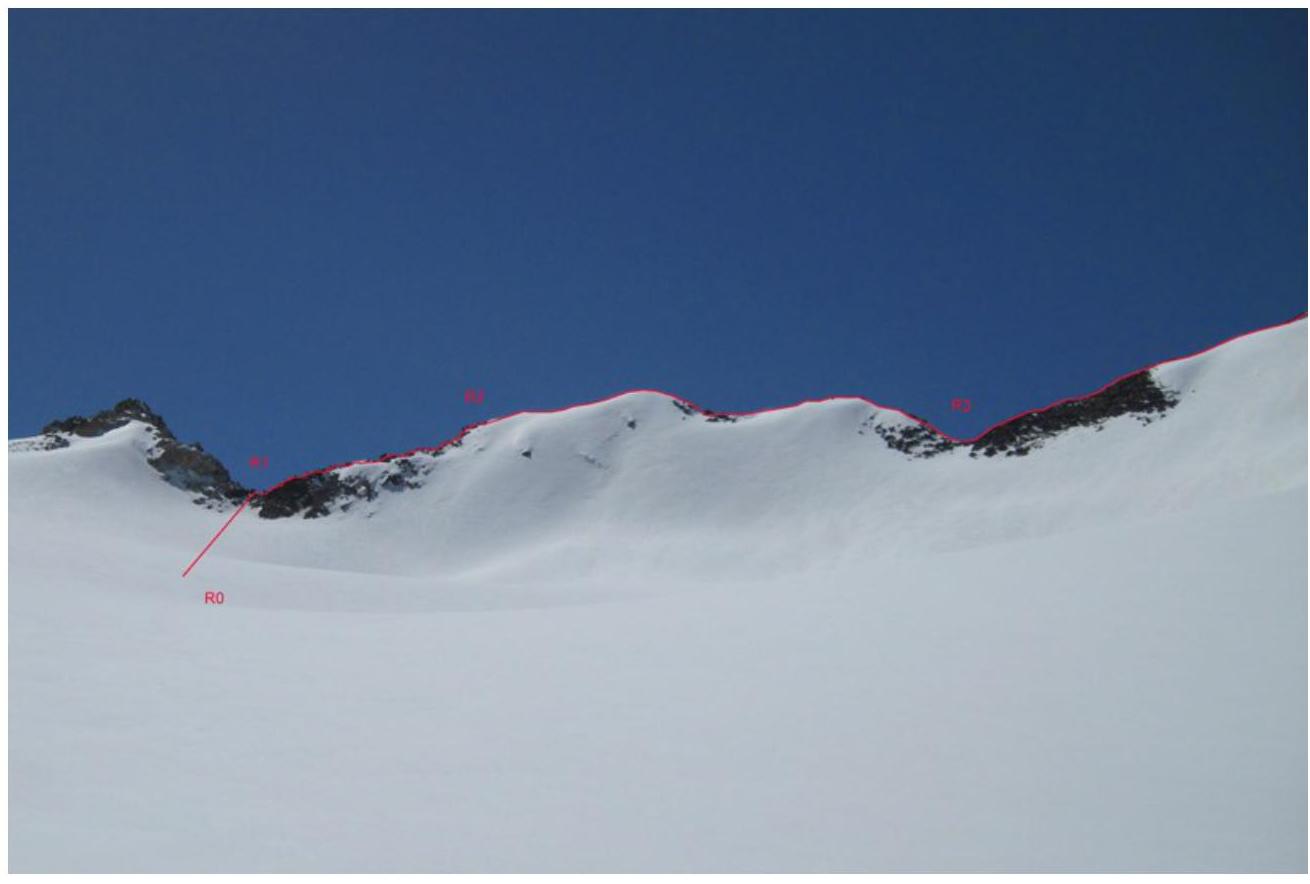
Route profile. Taken on May 7, 2013, from the upper reaches of Taldurinsky Glacier (shooting point TP-02 on the map).
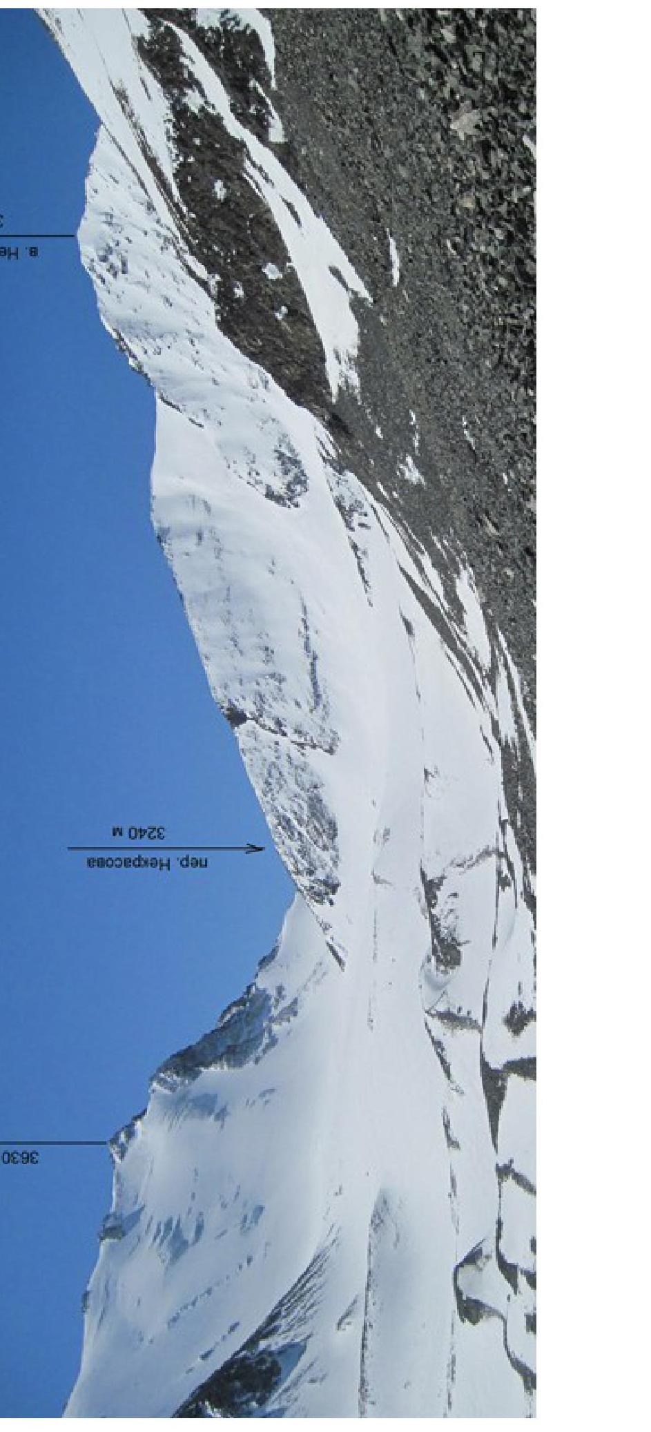
a. Nekrasova 3573 m
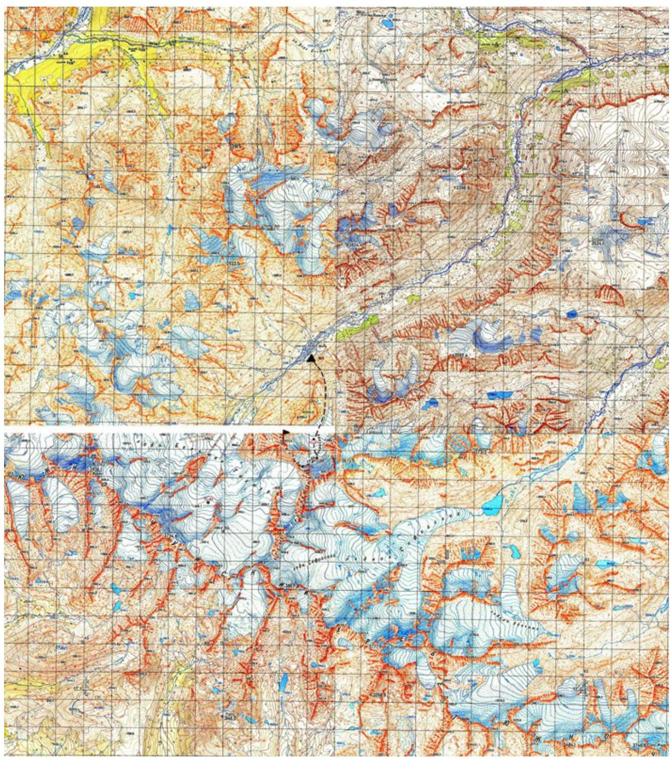
To reach the area, a high-clearance vehicle is required. From Kuray village, take the Chuya Highway (M-52) to Chagan-Uzun village or Ortolyk settlement, then take a dirt road through Beltir settlement and continue up the Taldura River valley.
You can drive up to the upper reaches of the river (depending on the road conditions and the presence of aufeis on the river), typically above the Jelou tributary. Travel time from Kuray is about 3 hours. The hike from here to the base camp location takes 5-6 hours.
Route Description
| Section | Length, m | Slope, degrees | Terrain characteristics | Difficulty category | Number of pitons |
|---|---|---|---|---|---|
| R0–R1 | 50 | 30 | Snow slope, exit to pass | I | 0 |
| R1–R2 | 100 | up to 50 | Climb from the saddle to the ridge, broken rocks | II - | 0 |
| R2–R3 | 200 | up to 30 | Rocky and scree ridge with snow sections | I | 0 |
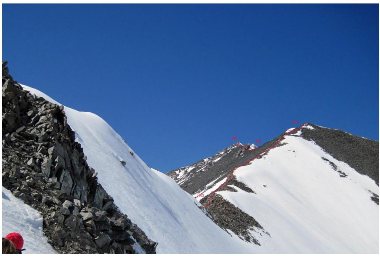
| R3–R4 | 350 | 30 | Ridge with sections of broken rocks, scree, and snow | I | 0 |
| R4–R5 | 150 | 10 | Gentle snow-covered ridge | I | 0 |
| R5–R6 | 200 | 30 | Broken rocks | II - | 0 |
ROUTE PHOTO WITH SECTION BREAKDOWN
Taken on May 3, 2013 (shooting point TP-03 on the map)
Taken on May 3, 2013 (shooting point TP-04 on the map)
ROUTE PASSAGE BY SECTIONS
From the base camp, move up the right tributary of the Taldura River, which originates from Nekrasov Glacier. Along the way, you'll encounter:
- grassy slopes
- scree slopes
- snow slopes
After 1.5 hours, you'll reach a gentle section of the valley. Continue moving with minimal elevation gain towards Nekrasov Glacier.
The ascent to the pass is via deep, loose snow. The journey from the base camp to the pass takes 4.5 hours.
- At the beginning of the ascent from the pass, alternate belaying through rock outcrops may be used
- Further movement is simultaneous
- Piton belaying is not required anywhere
- When reaching the gentle section of the ridge (R4–R5), move on the left side, as a snow cornice hangs on the right
- When moving on rocks at section R5–R6, alternate belaying is also desirable in some places
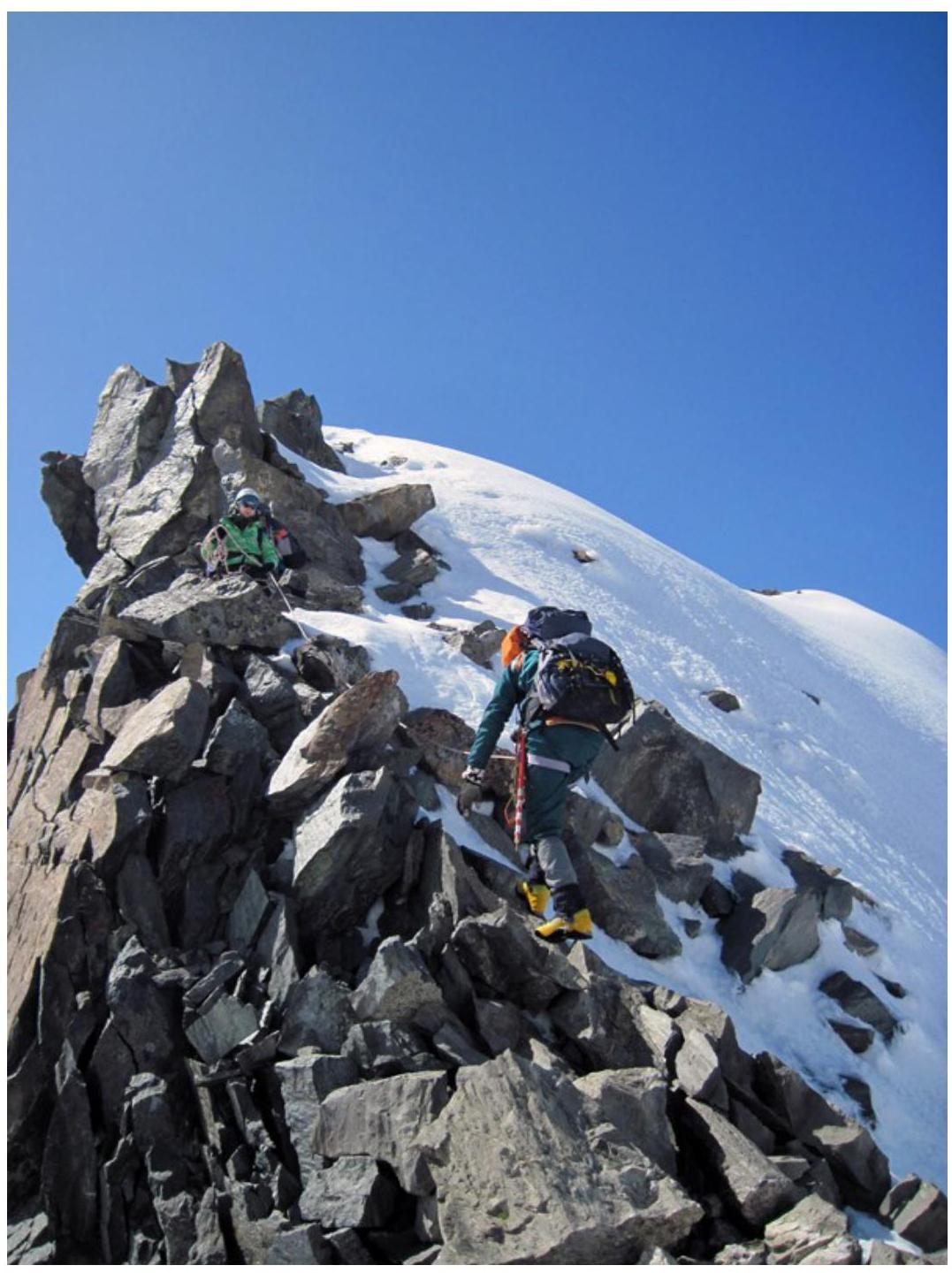
Photo 1. Upper part of section R1–R2.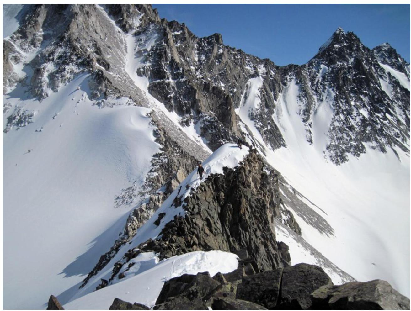
Photo 2. Section R2–R3.
Photo 3. Section R3–R4.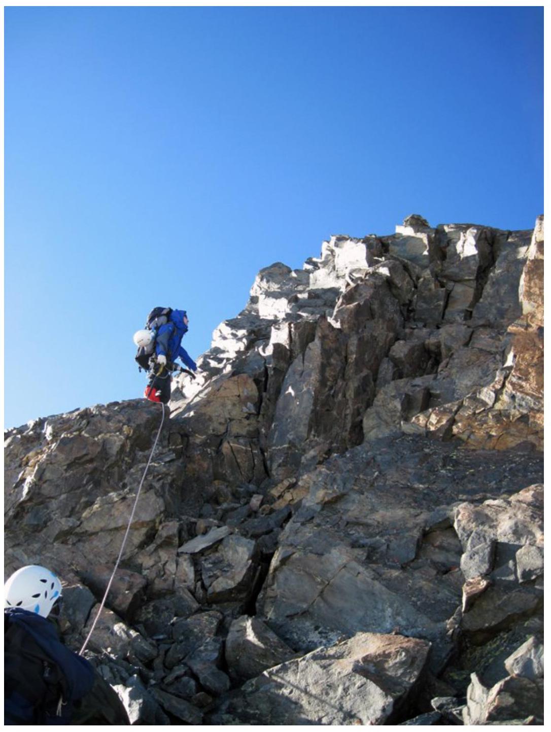
Photo 4. Section R5–R6.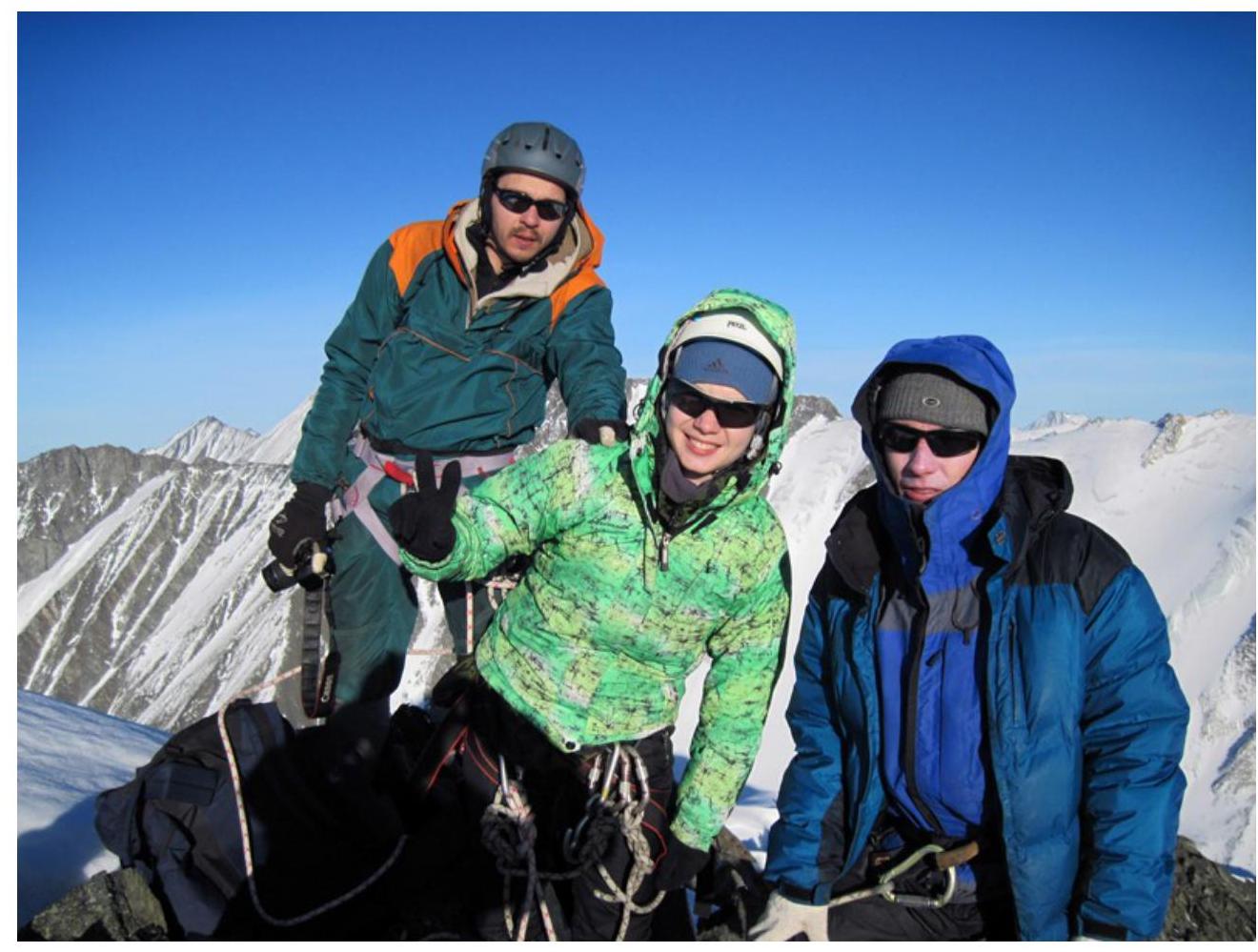
Photo 5. At the summit.