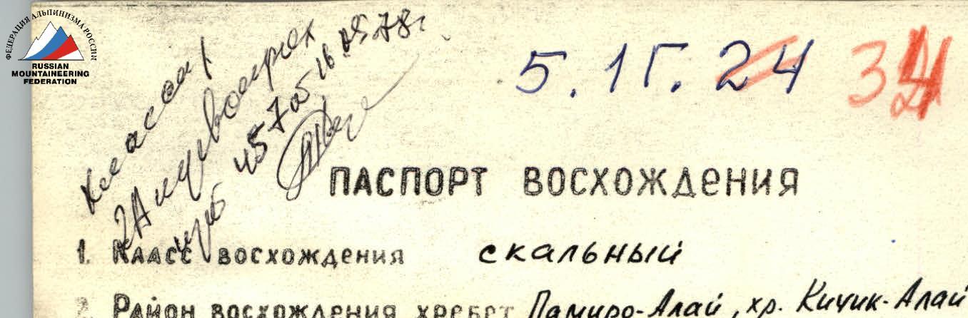
ASCENT PASSPORT
- Type of ascent: Rock climbing
- Area of ascent, ridge: Pamir-Alay, ridge Kikik-Alay
- Peak, height, ascent route: Kyzkochkan 4100 m, via the northern ridge
- Proposed difficulty category: 2.5
- Route characteristics:
- Height difference: 800 m
- Length of sections: 5–6 km/tech
- Average steepness of technical sections: 60°
- Pitons hammered:
- For belaying: rock 7, ice –, bolted –
- For creating I.T.O.: –
- Number of walking hours: 4 h 30 min
- Number of overnight stays and their characteristics: –
- Full name of leader, participants, and their qualification:
- Evtov V.D. — leader — 2nd sports category
- Lukoyanov A.A. — 1st sports category
- Sokolov S.A. — 1st sports category
- Team coach: Master of Sports Levin M.S.
- Date of departure and return: 26.08.77 26.08.77
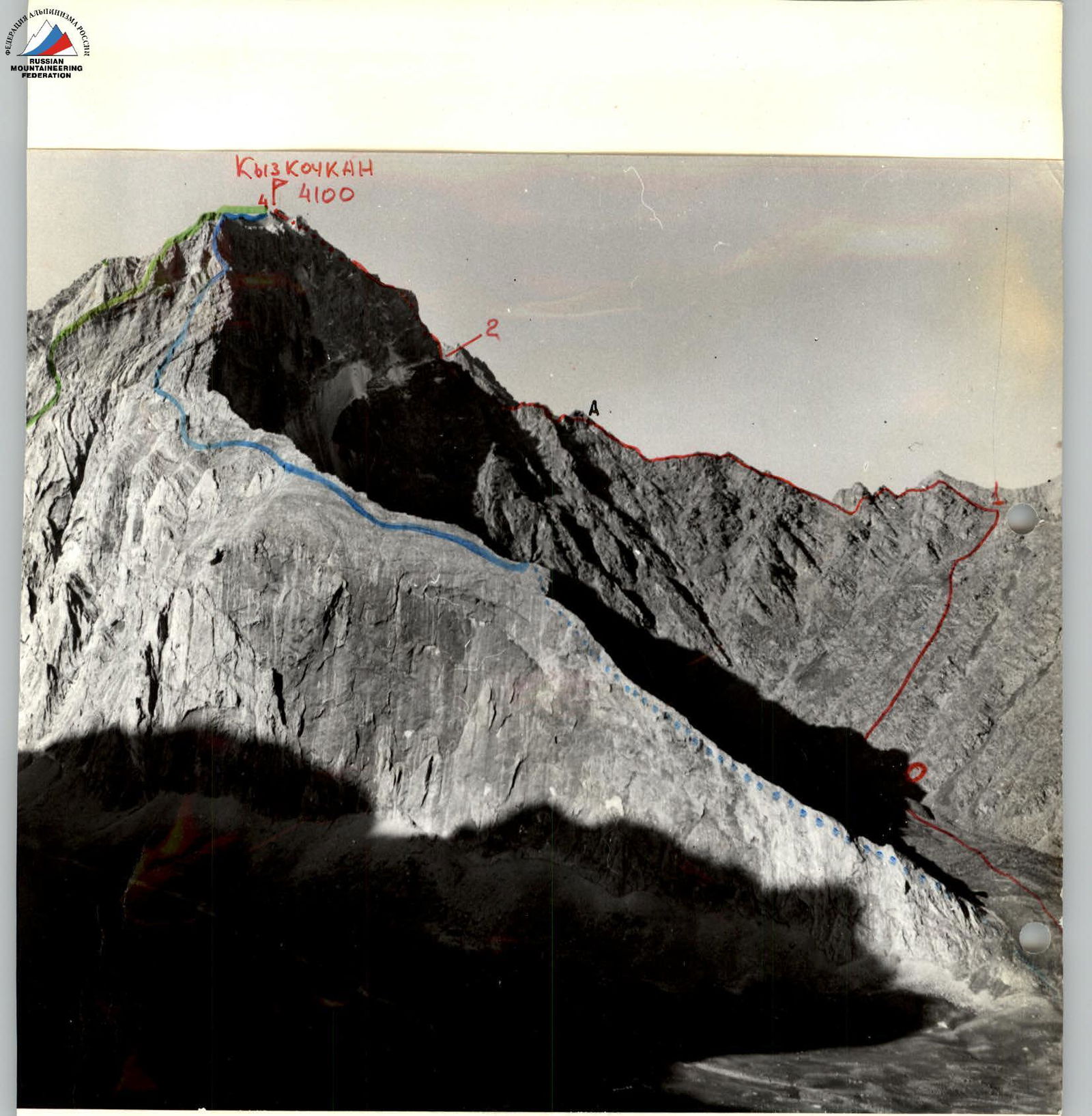
- Route of group A. Putintsev (Turk Vo-68) — 4B cat. diff.
- Route of group V. Khramtsov (ChokvAM-77) — approx. 4B cat. diff.
- Described route
Information about the route
| Date, time | Designation | Avg. slope | Length | Relief characteristics, difficulty | Condition, weather conditions | Belaying | Passage |
|---|---|---|---|---|---|---|---|
| August 26, 1977 | Approach to the start of the route from base camp "2800" in the Suichikty valley — 1 h 30 min | ||||||
| 9:00–10:30 | R0–R1 | 30° | 800 m | Scree couloir 1 | Rockfall, loose rocks | Walking, free traversing | |
| 10:30–12:00 | R1–R2 | 10° | 700 m | Rocky ridge with gendarmes 2 | Gendarmes up to 60°, take head-on or bypass left | Simultaneously through ledges | Free climbing |
| 12:10–13:10 | R2–R3 | 70° | 100 m | Rock wall with a chimney 3B | Junction of monolith and broken rocks, wet ice | Alternately — 7 rock pitons, ledges | Free climbing, fixed ropes 2 × 40 m |
| 13:15–13:30 | R3–R4 | 35° | 300 m | Rocky ridge leading to the summit of Kyzkochkan 1 | Broken rocks, loose stones | Simultaneously on a full rope | Walking, free traversing on a full rope |
Descent along the ridge R4–R3 to the gap and from the gap through the couloir to the south into the Joljilga valley — 3 h 12 min from the summit to base camp "2800".
Proposals for classification
The group expected a significantly greater difficulty on the long ridge with gendarmes connecting Gelintash and Kyzkochkan and prepared for a first ascent of 3A category. However, they encountered technical work only on the red wall, reminiscent of routes like Spartakiada, Lysenko. For a group of 4 or more people, this route will be a good test of coordination and physical fitness. Therefore, the group requests to include it in the Classification table of routes on mountain peaks of the USSR as:
Kyzkochkan 4100 m, 2B, rock via N ridge.

