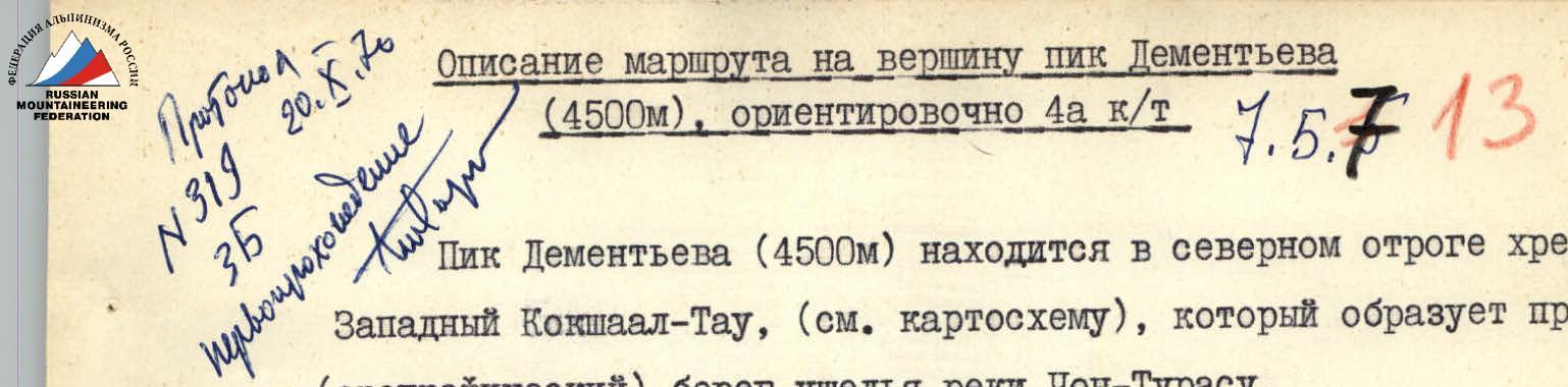
Route description to the summit of Peak Dementieva (4500 m), approximately 4A cat. diff. 7.5.713
Peak Dementieva (4500 m) is located in the northern spur of the Western Kokschaal-Too ridge (see map), which forms the right (orographic) bank of the Chong-Turasu river gorge.
Approaches
Leaving the base camp (see map) along the trail leading to the upper reaches of the Chong-Turasu river, we turn left at the third (along the way) stream flowing from the spur and flowing into the Chong-Turasu.
Further ascent is along the talus (along the right orographic bank of the stream) under the rocky massif of the peak. The cemented talus resembles firm firn, requiring steps to be cut with the sole of the boot. At the beginning of the ridge on the talus, there is a possible spot for a tent, no water, but there is snow.
The approach from the base camp to the stream takes 1 h, the ascent along the talus — 3–3.5 h.
Ascent
Bypassing the rocky walls on the right along the way, along the talus we reach the ridge (1 h), further the path goes along the ridge of medium difficulty, with protection through ledges, the rocks are quite heavily destroyed (2 h). The ridge turns into a sharp crest, which is overcome in a classical way, the length is 5–7 m. The crest leads to a wall (3–4 m) sheer with minimal holds, overhanging above the precipice. Protection is with pitons.
After the wall, a ridge of medium difficulty (protection through ledges) leads to a 40-meter wall, dissected by a small crack. In front of the wall, there is a flat area where a tent can be pitched. Passing the wall — with piton protection without backpacks:
- The first 20 m are very difficult and steep, leading to a small area where the next person in the rope team can be received.
- Further, the wall becomes gentler and leads under overhanging rocks, where there is a platform for 2–3 people, from which the backpacks are retrieved.
This wall is considered the key section. In terms of difficulty, the wall is not inferior to the key section on Peak Boks in the Aksai plateau (4A cat. diff.). Further, a wall of about 10 m leads to a ridge of medium difficulty. Along the ridge — to a gendarme, which is bypassed on the left along a narrow talus ledge, crawling through a "hole" formed by fallen slabs.
Near the gendarme, a simple ridge leads to the summit. The summit is a small rocky area. Along a simple talus, descent to the saddle between Peaks Dementieva and Kaliningrad, from the saddle a simple descent to the east to the stream, along the gorge of which in 2–3 h we exit into the Chong-Turasu gorge.
The ascent from the bivouac to the saddle takes 8–10 h, the route is rocky. The entire ascent time — variable cloudiness, wind moderate to strong. At the same time, on the main ridge, there was a strong snowstorm, the entire massif was in clouds.
 Lower, most difficult part of the wall (key section)
 Upper part of the wall (key section)
Signatures
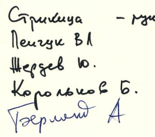
Strikitsa Peychuk V.L. Zherdev Yu. Korolkov B. Berland A.